As we were having breakfast in a cafe near our motel this morning, an elderly gentleman walked by all wrapped up against the cold (it was frosty) eating a very large ice-cream. The thermometer certainly has not got up to ice-cream eating temperatures for me. Shortly afterwards, an elderly lady walked past holding a small branch with a few leaves on, in front of her. I have no idea what that was for.
Dunedin to Invercargill on the highway only takes about two hours to drive but there is a slower, scenic option which follows the coast and then through the Catlins where remnants of the original forest remain and have not been cleared for farming. For the first few miles the road runs alongside the ocean and this morning, Brighton Beach was empty.

At Taieri Mouth the road turns inland for a while and into the mist which was lying. Milton is a small town built on wood and wool and further on is Balclutha, the largest town on the road. The Clutha River is the largest in New Zealand by volume of water. We had a coffee here before continuing on our journey. While many of Dunedin’s central streets have the names of streets in Edinburgh’s New Town and some of those in the suburbs have Edinburgh suburb names, we assume that Balclutha was settled by Glaswegians as we had only just entered the town and seen streets named Glasgow, Clyde and Renfrew.

There are numerous diversions along the road. Walking trails start at various points, there are a few waterfalls, caves, horse riding and many others. One we did take was the road down to Nugget Point. There is a short walking trail to the lighthouse.
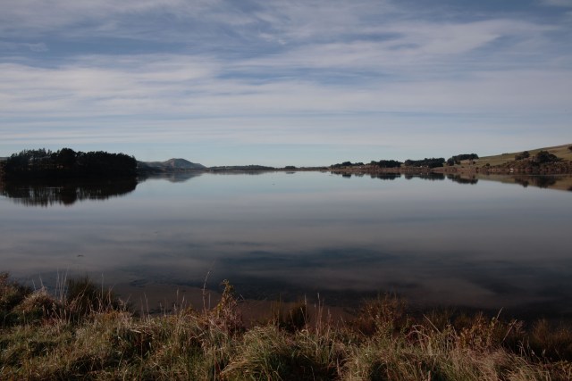
There are lookouts and short trails to hides as it is possible to see penguins, seals, sea lions and birds. We saw one seal at a distance today. There was a large party of several families with five rented camper vans at the lighthouse. We decided to make a quick get away in order to avoid being stuck behind all five on the narrow road on the point. Back on the scenic route we approached the Catlins and passed Catlins Lake which is in fact, a sea loch.
At Florence Hill Lookout you get a good view of Tautuku Bay and Peninsula with some of the old growth forest.
The information board said that the area was first inhabited by Maori arrived from AD 900-1700. It was sighted by Captain Cook and whalers and sealers arrived in the early 19th century followed by settlers from 1850 who started clearing the forest for timber and then farmland. Apparently, the road was not sealed until 2005. Grasses and flax border many of the roads and on Florence Hill one guy was spending ages photographing the grass seedheads. As the road approaches Invercargill it turns inland through farmland and bordering wetlands where there are a number of nature reserves and bird-watching centres. Having left Dunedin which lays claim to the steepest street in the world and have now arrived in Invercargill which is very flat. So not much energy will be expended looking for our evening meal.

Looks like a fairytale!
That photo of a deserted Brighton Beach and the lighthouse could be on the cover of a calendar!
Strange about the man eating ice cream in the cold – even I don’t do that!
And as for the woman, was she dowsing for water, perhaps? Who knows!